ADEC's Successful Integration of BIM in Marine and Coastal Infrastructure Projects

ADEC Leverages BIM for High-Performing Coastal and Marine Designs
Over the past years, ADEC has leveraged Building Information Modeling (BIM) to develop high-performing, well-coordinated designs that achieve desired project outcomes. BIM is essential for new construction, substantial renovations, major maintenance and improvement projects, and extensions with a wide range of alternatives or significant financial impacts.
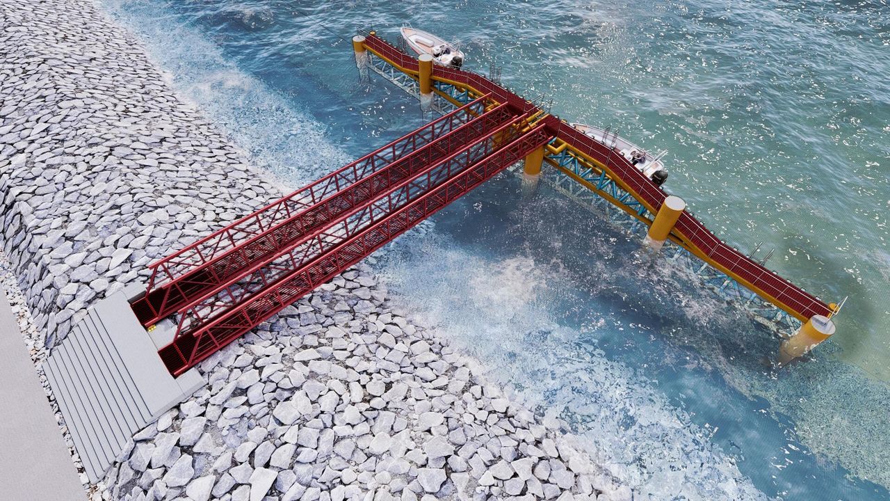
ADEC has successfully completed projects that integrate BIM with site and land use planning, as well as infrastructure modeling. Tools such as BIM and GIS integration, Google Earth, Sketch-Up, Autodesk Infraworks, and Civil 3D support ADEC in creating "designing in place" models for Marine Ports and Coastal Infrastructure Projects.
This innovative approach has allowed ADEC to enhance project visualization, improve collaboration among stakeholders, and streamline project management processes. By adopting BIM, ADEC ensures that their coastal and marine infrastructure projects are not only efficient and sustainable but also resilient to the challenges posed by marine environments.
ADEC's strategic implementation of BIM in marine and coastal infrastructure projects demonstrates the transformative potential of this technology. Through innovative tools and collaborative efforts, ADEC continues to deliver exceptional project outcomes, reinforcing their position as a leader in the industry.
Go Back